GIS and Housing

GIS and Housing

Deborah Rojas De Leon, a co-author of GIS and Housing: Principles and Practices, brings her expertise to the forefront by creating all the informative graphics within the book. This book tackles the complexities of the current housing crisis in the United States, proposing denser housing options as a solution to affordability issues, limited supply, and homelessness. GIS and Housing goes beyond theory, demonstrating how Geographic Information Science (GIS) can be a powerful tool to untangle these intricate housing challenges. The authors, with their diverse backgrounds in architecture, urban planning, community engagement, and GIS, offer a well-rounded exploration of housing issues, grounded in real-world experiences. The book starts with a historical perspective, then dives into the technical aspects of GIS management. This approach bridges the gap between housing professionals and GIS experts, fostering collaboration. Through this interdisciplinary teamwork, the book proposes solutions that not only address housing but also tackle climate change and income inequality. By advocating for a collaborative approach, the authors empower all stakeholders to confront the multifaceted housing crisis with a shared understanding and purpose. GIS and Housing doesn’t just illuminate the pressing issues; it serves as a roadmap towards a future where housing is equitable and accessible for all Americans.

Long Island City Zoning Study

Long Island City Zoning Study

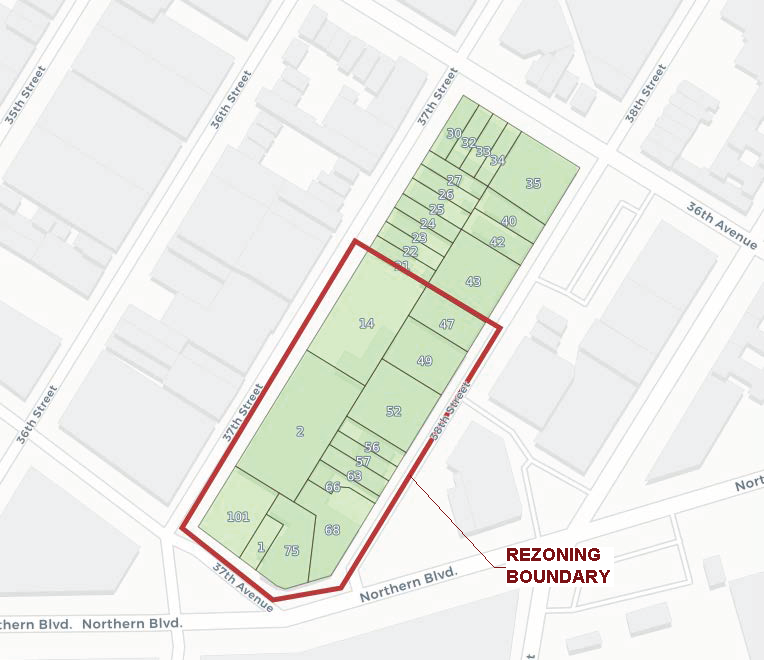
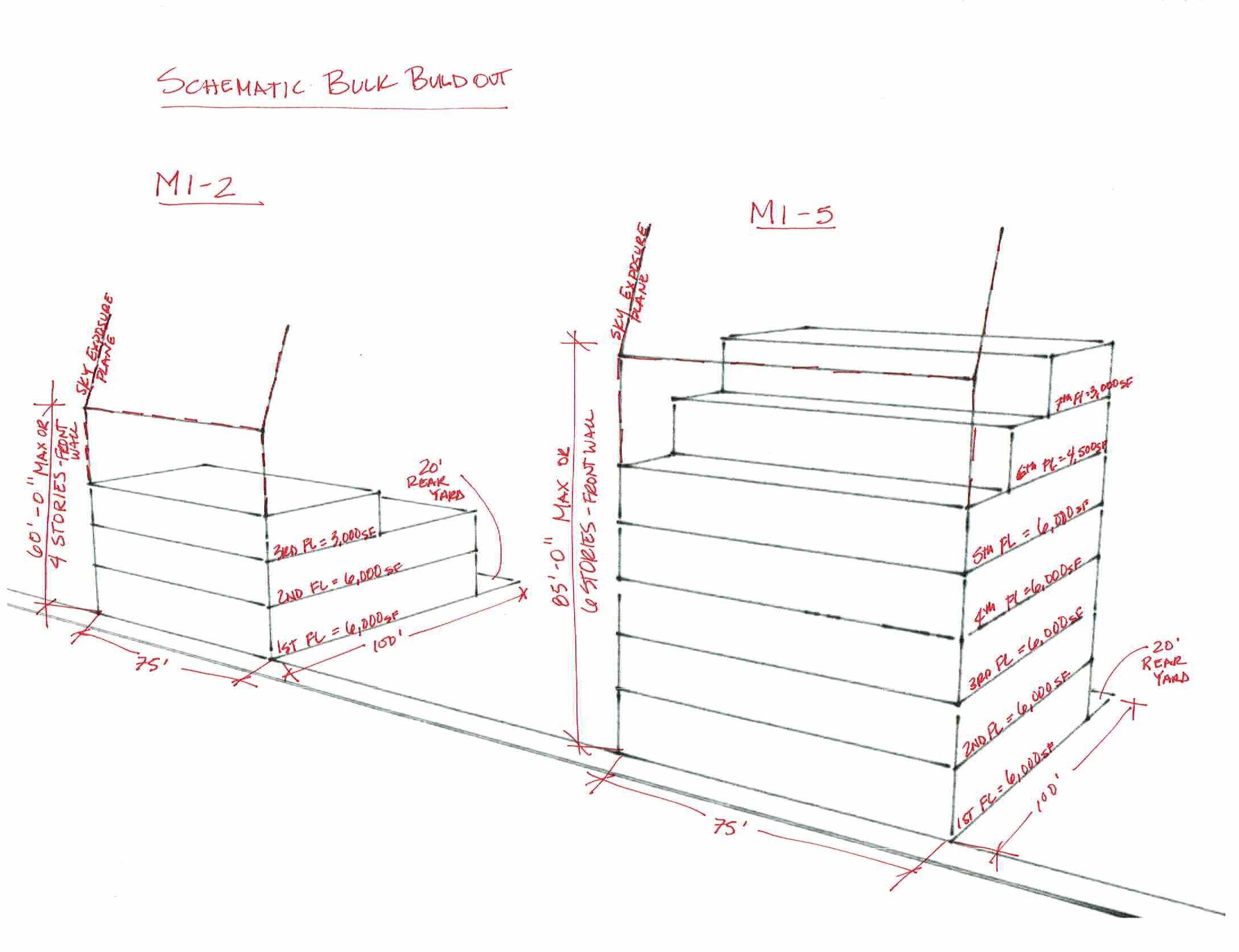
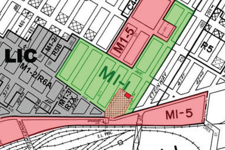
Rojas AP was engaged by a local high end residential design build company looking to move their offices into a recently purchased workshop in the Industrial Building Zone in Long Island City. Our first step was to create an as-of-right scenario of the potential build out. This allowed a bump up of Floor Area Ratio (FAR) due to the partial manufacturing use. Although the increase to the allowable FAR was welcome, we were further engaged to review additional options for expansion. Rojas AP coordinated with the NYC Department of City Planning (DCP) for insight into the Long Island City Study and potential means to increase the build-out potential of the property with a Uniform Land Use Review Procedure (ULURP). We identified a minimum study area for a potential map change from M1-1 to M1-5, as recommended for the most success by DCP.

LOCATION
QUEENS, NY

Community Engagement Expanding Activity Space

Community Engagement Expanding Activity Space

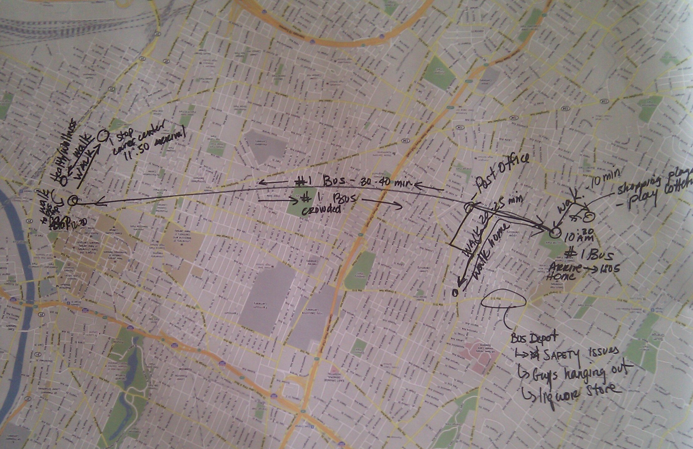
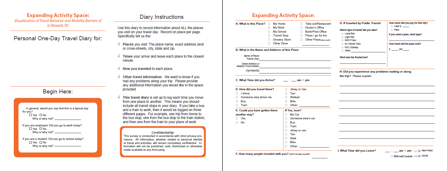
Expanding Activity Space was a research project that focused on visualizing mobility barriers of low income populations. The project was funded by the Federal Transportation Agency's Public Transportation Participation Pilot Program and was conducted by Hunter College. Data was collected in Newark, NJ in order to create a test project where the team could develop a complete picture of travel behavior and the context within which that occurs. Quantitative and qualitative data was collected and then visualized through a beta tool.

LOCATION
NEWARK, NJ