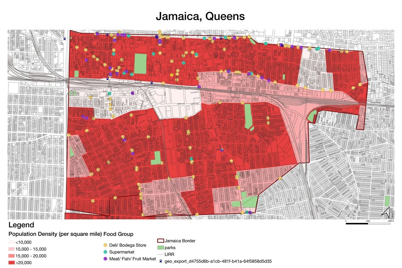
Geospatial Data Analysis (GIS)
Our geospatial Data Analysis (GIS) service offers precise and insightful solutions for spatial data interpretation and visualization. Utilizing GIS techniques, we analyze spatial relationships and patterns to extract valuable insights crucial for informed decision-making. Our expertise spans various sectors, from urban planning to architecture, allowing us to tailor our analyses to meet the unique needs of each project. With a commitment to enhancing community well-being through data-driven strategies, we empower our clients to make informed decisions that positively impact their projects and the communities they serve.


